Description
The Sligo Way is a waymarked long distance walking route which starts at Lough Talt and continuous along the ox mountains towards the town of Dromahair.
The route is 78 km in length and takes approx. 3 days to complete.
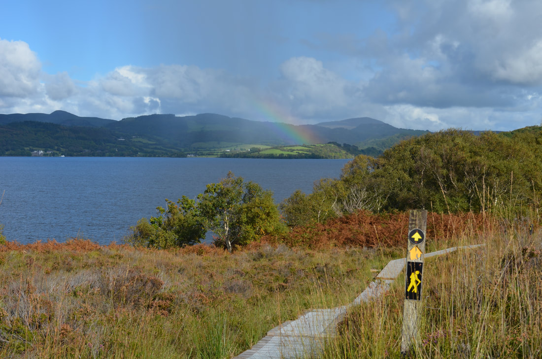
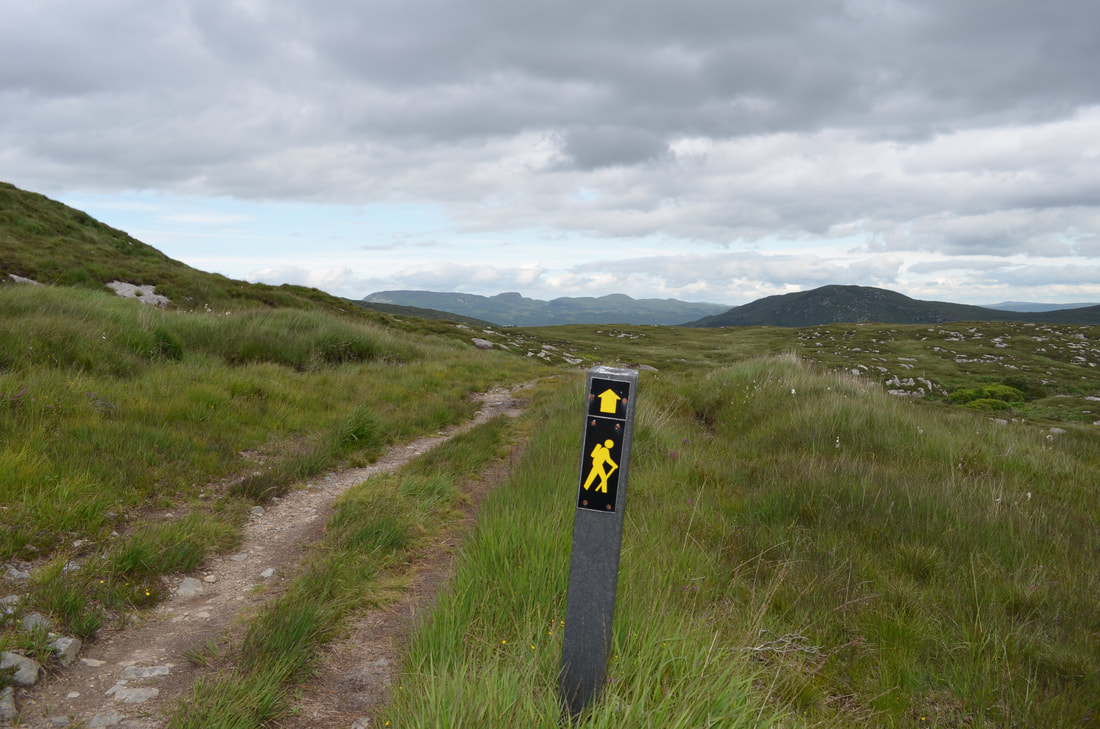
The going is a mixture of tracks, forests, roadways and boggy mountain trails. There are not many towns or villages along the route, but Coolaney and Collooney are good stopping-off places.
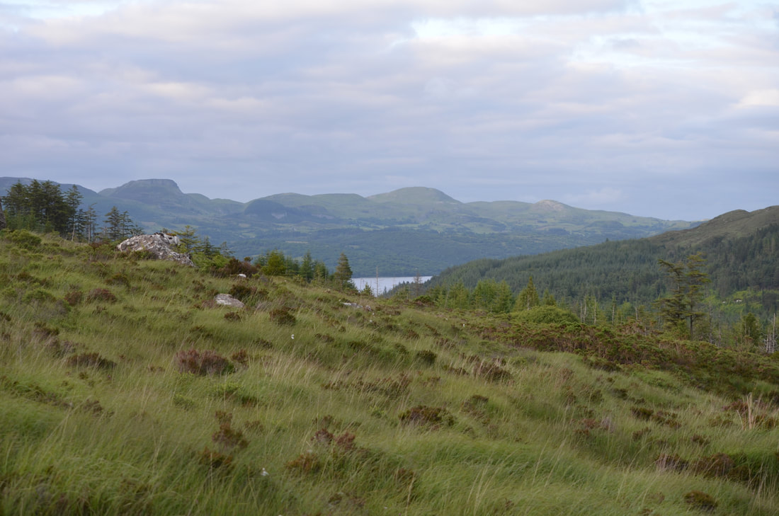
We personally love the section from Collooney to Dromahair. You walk through Union wood , across the slopes of Slieve Dean onwards to Slish wood.
Distance: 78km
Ascent: 890m
Visitor facilities: car park, picnic area
The route is 78 km in length and takes approx. 3 days to complete.
The going is a mixture of tracks, forests, roadways and boggy mountain trails. There are not many towns or villages along the route, but Coolaney and Collooney are good stopping-off places.
We personally love the section from Collooney to Dromahair. You walk through Union wood , across the slopes of Slieve Dean onwards to Slish wood.
Distance: 78km
Ascent: 890m
Visitor facilities: car park, picnic area