Route Description
The Lissadell & Ragley route is a mainly flat route which gives you some amazing views across Sligo Bay. The route avoids as much as possible the main roads as you will cycle mainly along the smaller country roads allowing you to enjoy the lovely Co.Sligo landscape.
The route leaves Sligo IT and turns towards the Ballytivnan road where a slight gradient get's you warmed up for this 59km cycle. Following this road, you head towards Rathcormack with the magnificent Benbulben and Kings Mountain getting closer.
Once you reach Rathcormack, a bridge across the Drumcliff river is crossed. The Drumcliff river is a great Salmon river. After having crossed the river, turn left towards Drumcliff where you will have to cross the main Sligo to Donegal road. (Be careful crossing this road).
Once crossed, proceed towards Carney where you can have a stop in the village and refresh with a drink. After a refreshment, carry on towards Lissadell house and Carney.
Just after the village of Carney, you will pass Ballyilgilgan nature reserve which is on your left. The nature reserve is a popular breeding ground for migrating birds.
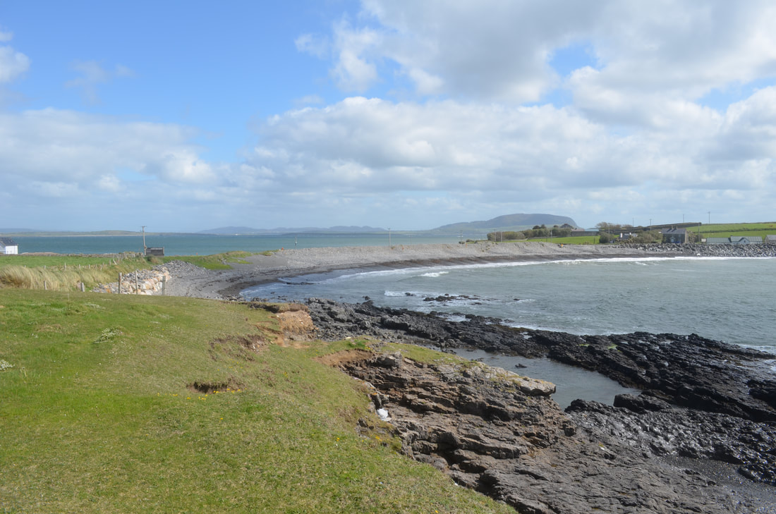
After another 2 km, there is a sign posted road to the left which will bring you to Lissadell beach. You enter the gates at the gatehouse and cycle through Lissadell's grounds towards the beach. The bay here is popular for oyster breeding and along the beach, you can sometimes see the cages.
Lissadell beach is a fantastic beach giving you views towards Knocknarea. From here, turn back to the main road and at the gate/gatehouse, turn left.
Further along the route, you will pass the main entrance towards Lissadell House. Lissadell house and gardens are worth a visit. The walled gardens & house are worth a visit as are the coach house where a tearoom and exhibition area are located. (http://www.lissadellhouse.com/)
Carrying on from Lissadell house, go further along the road until you reach Dunleavey's shop. After this small shop, where you can always stock up on a picnic, turn left following the sign posts for Raghley.
After a while, you pass Ardtermon Castle. The castle is privately owned and stands out from far due to it's bright yellow colour and the multiple palm trees surrounding it.
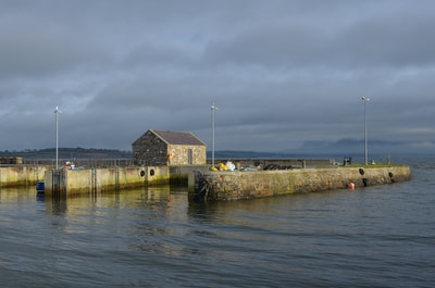
Further along, the road, just before you reach Raghley headland, the road narrows and is flanked by a beach at either side. Cycle along the route as far as Raghley harbour which has seen some modernization in the last while, but still looks like it is situated at the end of the world.
The views from here are amazing and would be a perfect location to have a picnic.
From Raghley, heading back towards Sligo, the small narrow roads run through low marshland and small fields. On a windy day, be prepared to push the pedals hard.
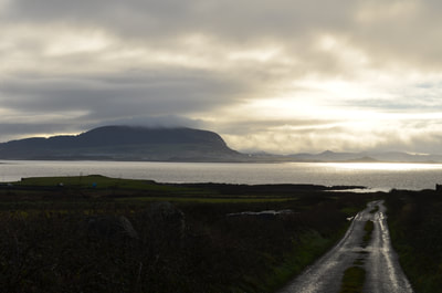
Ones you go through the village of Carney again, head towards Kings Mountain. The road follows the foot of the mountain and gives you plenty of photo opportunities of the surrounding mountain ranges.
Hopefully you still have some energy left, because after crossing the Drumcliff river for the second time , you will have reached the steepest hill of the day which will see you climbing towards the Manorhamilton to Sligo road.
This is a busy road and extra care will need to be taken for the last few kilometers into town, although most of it is downhill.
Route Map
For further detail, click route number# 2.996.413 below map


