Description
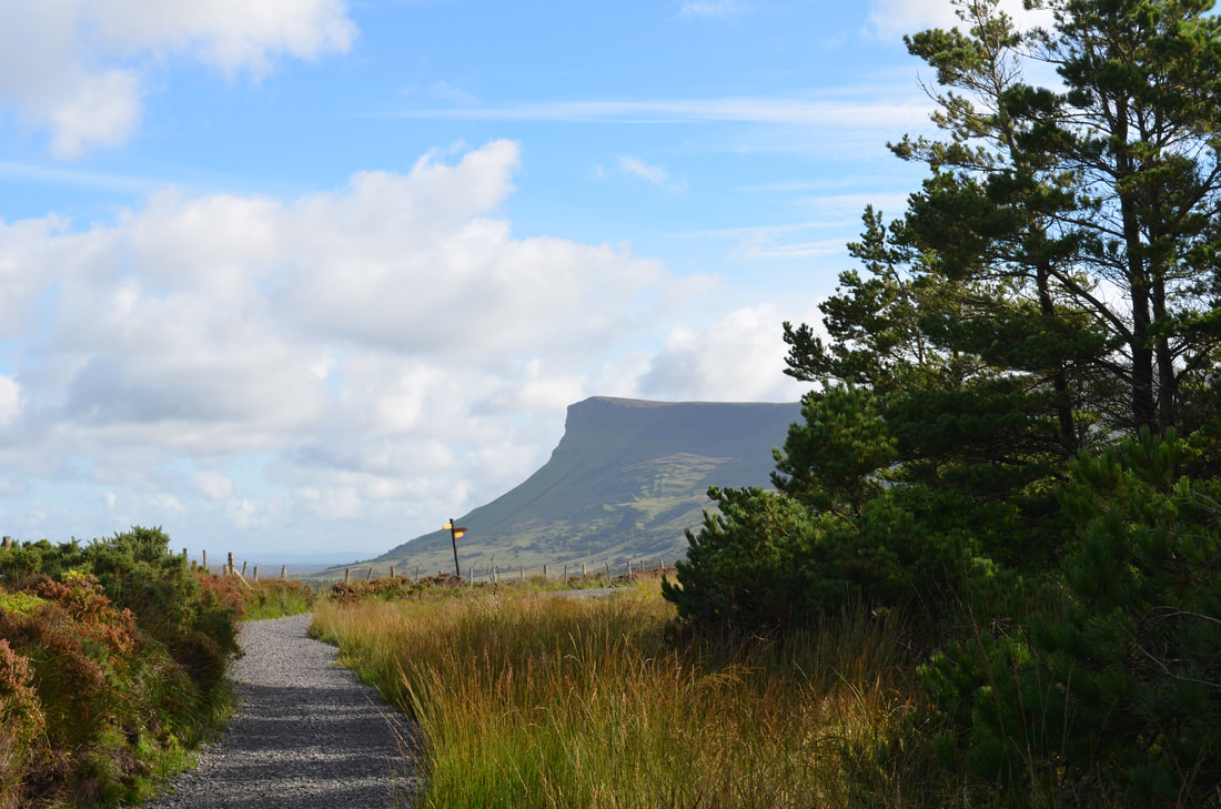
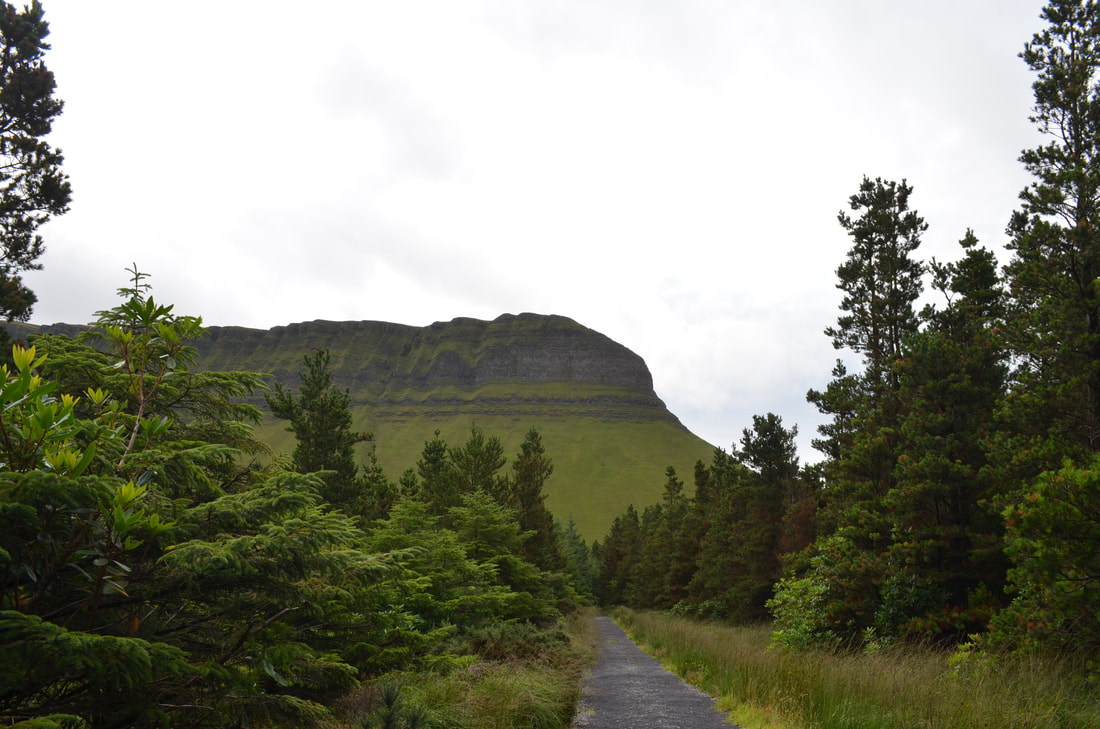
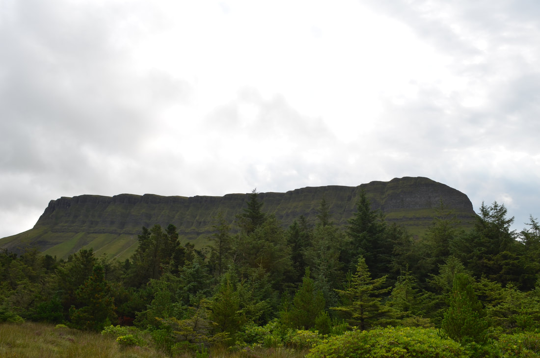
The Gortarowey Walk starts of at the carpark, it takes you on a path through deciduous forest (oak, ash, beech, alder, mountain ash and sycamore). Ones the trail turns away from the car park, there is an incline which is really the only one on the trail. After the first initial incline, the trail is relatively flat and follows the bottom of Benbulben, the famous table top mountain in Co.Sligo.
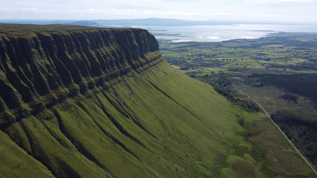
At the end, there is a small loop from where the most fantastic views towards Donegal and Sligo bay are available. The views are as far as Donegal (Slieve League).
The area allows for some spectacular pictures of Benbulben
Distance: 5.5km
Ascent: 60m
Visitor facilities: car park, picnic area
At the end, there is a small loop from where the most fantastic views towards Donegal and Sligo bay are available. The views are as far as Donegal (Slieve League).
The area allows for some spectacular pictures of Benbulben
Distance: 5.5km
Ascent: 60m
Visitor facilities: car park, picnic area