Description
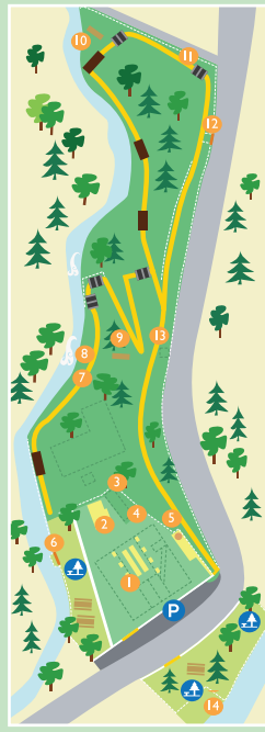
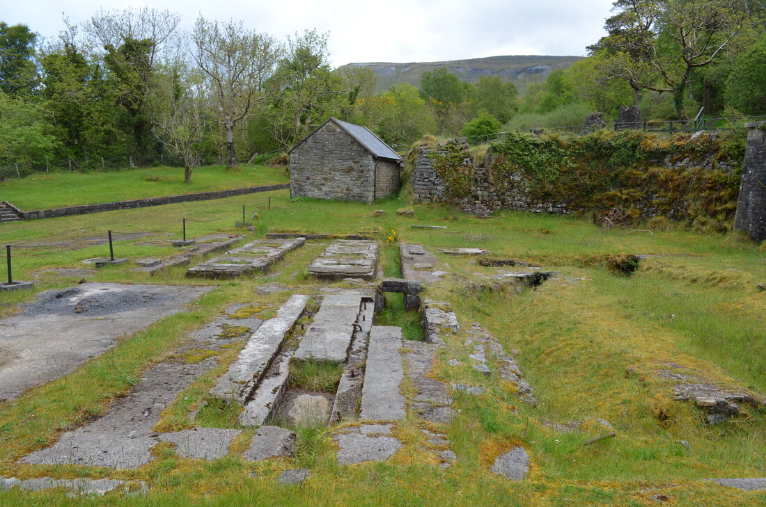
There is ample car park spaces at the start of the Gleniff Mill site. The Gleniff Barytes Mill was built near the entrance to the Gleniff valley, within walking distance of the village of Ballintrillick. The site was developed here because there was an abundance of water and on the expectation of opening a workable mine on the slopes of Tievebaun Mountain.
The road distance from the washing shed to the mill site is a little over two miles (3.5 km).The distance from the Tievebaun mine would have been considerably less. A wheel lay on a ledge of cliff just above the mine.The two strands of the cable still hang down the cliff and are visible from the road on bright sunny days. The walk start at the grounds where the mill used to be, only the foundations are currently visible.
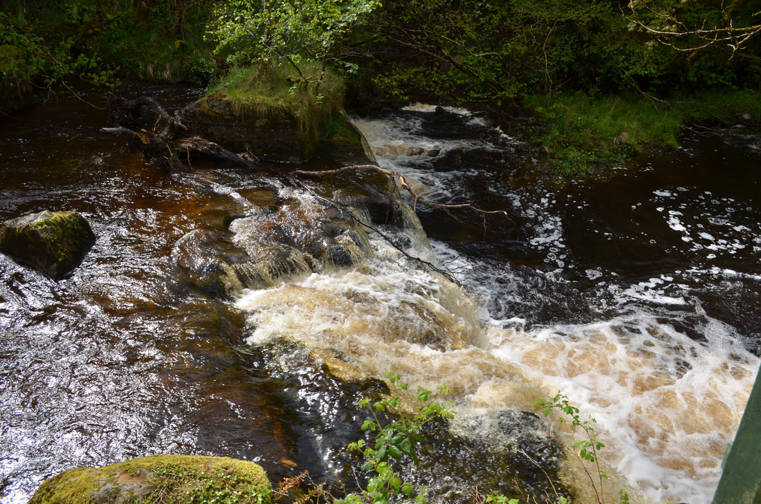
The walk follows the powerful river which used to spin the waterwheel .
A Scottish consortium took over the enterprise in 1911 and the Ballintrillick River and its tributary were dammed. Both dams have a head of about 7.6m and were connected to the mill by a series of flumes and gates.The dams are still in existence, and the walk goes as far as the dam. The last section of the water course consisted of an iron pipe about 2ft (0.6m) in diameter. The Gleniff Company ceased operating, after about 30 years, around the 1920’s.
The path zigzags along the banks of the river until you reach the old dam. There is plenty of wildlife along the river and between the fauna.The walk , once you head back from the dam towards the mill gives amazing views towards Benwiskin. Along the path , sculptures have been placed, some easier to find than others.
The area is brilliant for a picnic as plenty of picnic benches are available and are well maintained.
Distance: 1.5 km
Track: Forest tracks
Ascent: NA
Visitor facilities: Car Park, picnic area
The road distance from the washing shed to the mill site is a little over two miles (3.5 km).The distance from the Tievebaun mine would have been considerably less. A wheel lay on a ledge of cliff just above the mine.The two strands of the cable still hang down the cliff and are visible from the road on bright sunny days. The walk start at the grounds where the mill used to be, only the foundations are currently visible.
The walk follows the powerful river which used to spin the waterwheel .
A Scottish consortium took over the enterprise in 1911 and the Ballintrillick River and its tributary were dammed. Both dams have a head of about 7.6m and were connected to the mill by a series of flumes and gates.The dams are still in existence, and the walk goes as far as the dam. The last section of the water course consisted of an iron pipe about 2ft (0.6m) in diameter. The Gleniff Company ceased operating, after about 30 years, around the 1920’s.
The path zigzags along the banks of the river until you reach the old dam. There is plenty of wildlife along the river and between the fauna.The walk , once you head back from the dam towards the mill gives amazing views towards Benwiskin. Along the path , sculptures have been placed, some easier to find than others.
The area is brilliant for a picnic as plenty of picnic benches are available and are well maintained.
Distance: 1.5 km
Track: Forest tracks
Ascent: NA
Visitor facilities: Car Park, picnic area
Location
|
|
|