Description
This walk is the long way to reach to top of Benbulben, but it is probably the one which requires the least climbing. You basically drive to Ardnaglass upper and park at the river (Also known as Lukes Bridge). Here is a small parking space for a couple of cars.
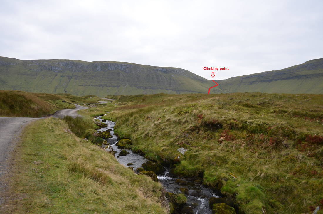
From here, you follow the tarmac road which follows the small river until you reach a small bridge across the river. Cross the river and follow the bog road up to the end. This was the easy bit. Make your way through the bog towards the small river which comes down the mountain (see picture below, route highlighted in red) . You can actually see the trail along the slope. From her, it is straight up the mountain along a very narrow path. This path flattens slightly once you reach the river.
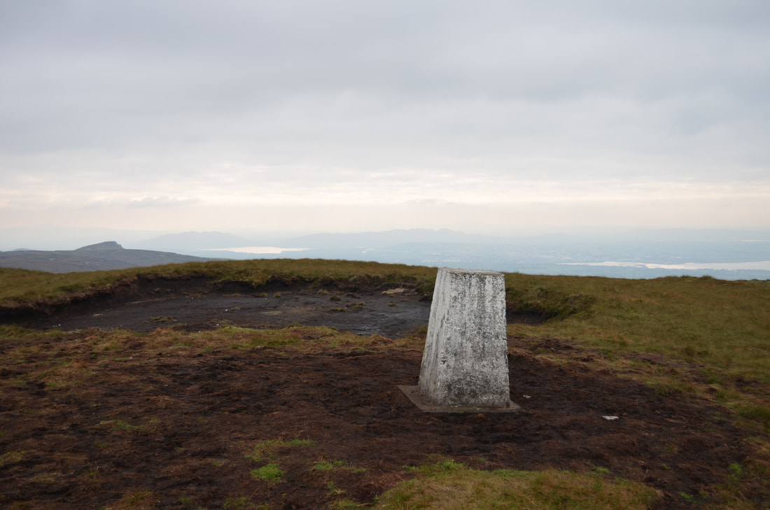
When you reach the top, turn right and follow the edge towards Benbulben summit.
Note: This walk requires good preparation (weather needs to be good, especially if you have never climbed Benbulben before). Also be mindful that the weather can change rapidly and visibility due to long-hanging clouds or fog can become a problem.
Decent shoes and clothes are also required.
If you are not sure, there are multiple guides who can take you up the mountain.
Distance: 11km
Track: bog road/mountain trails tracks
Ascent: 526m
Visitor facilities: Small Car Park
Location
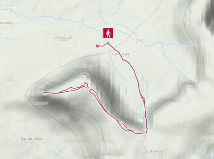
Trail Map
|
|
|