Description
Aughris Head Walk starts at Aughris pier. There is ample space to park your car along the road.
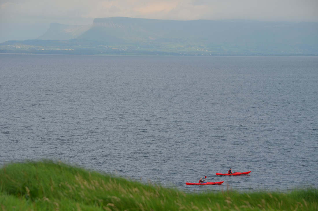
The path starts on the left of the slipway to the pier. The path follows the rugged coastline and gives views towards Knocknarea and Benbulben, and on a clear day as far as Slieve League in County Donegal.
Sometimes, you might see pods of dolphins leaping out of the blue waters or a curious seal keeping a watchful eye upon you.
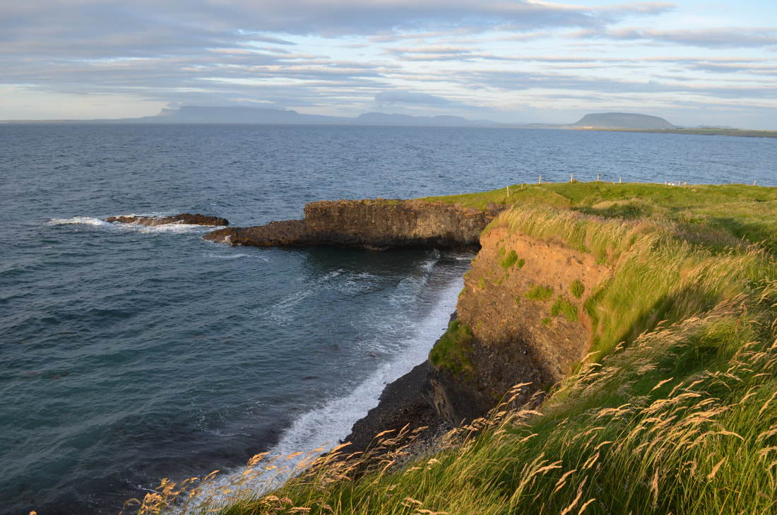
The circular walk takes in the spectacular views across the Atlantic. After approx. 700 meters, you will reach a small cove with a small beach with the clearest water. On either side of the beach are small sea caves which are worth checking out. Larger caves can be reached from the water, but will require a kayak. Walking further along the path, you will notice mounds of an ancient cliff-edge fort. Walking along these massive mounds, it is not difficult to see why this impressive site was chosen.
Following the path along the coastline, you will have to navigate through some fertile fields and a few gates.
Next place of interest is a holy well which is said to have once been visited by St Patrick.
Heading further along the headland, the path turns inland away from the coast. On the highest point of the path, you will reach a World War 2 lookout post. During the war, these lookout posts were used for monitoring the Irish coastline for hostile activity at sea.
At the end of your walk, why not head to the Beach Bar, a traditional pub with a tatched roof right beside Dunmoran strand.
It is the perfect location to watch the sunset while enjoying a refreshing drink .
Distance: 4.0km
Track: Coastal path / tarmac road
Ascent: 0m
Visitor facilities: Car Park
The path starts on the left of the slipway to the pier. The path follows the rugged coastline and gives views towards Knocknarea and Benbulben, and on a clear day as far as Slieve League in County Donegal.
Sometimes, you might see pods of dolphins leaping out of the blue waters or a curious seal keeping a watchful eye upon you.
The circular walk takes in the spectacular views across the Atlantic. After approx. 700 meters, you will reach a small cove with a small beach with the clearest water. On either side of the beach are small sea caves which are worth checking out. Larger caves can be reached from the water, but will require a kayak. Walking further along the path, you will notice mounds of an ancient cliff-edge fort. Walking along these massive mounds, it is not difficult to see why this impressive site was chosen.
Following the path along the coastline, you will have to navigate through some fertile fields and a few gates.
Next place of interest is a holy well which is said to have once been visited by St Patrick.
Heading further along the headland, the path turns inland away from the coast. On the highest point of the path, you will reach a World War 2 lookout post. During the war, these lookout posts were used for monitoring the Irish coastline for hostile activity at sea.
At the end of your walk, why not head to the Beach Bar, a traditional pub with a tatched roof right beside Dunmoran strand.
It is the perfect location to watch the sunset while enjoying a refreshing drink .
Distance: 4.0km
Track: Coastal path / tarmac road
Ascent: 0m
Visitor facilities: Car Park
Location
|
|
|